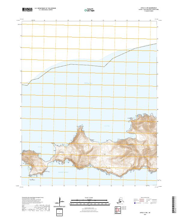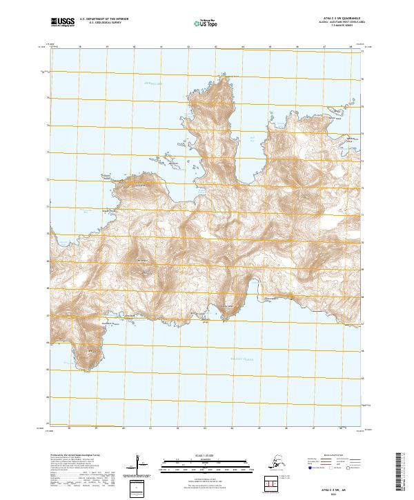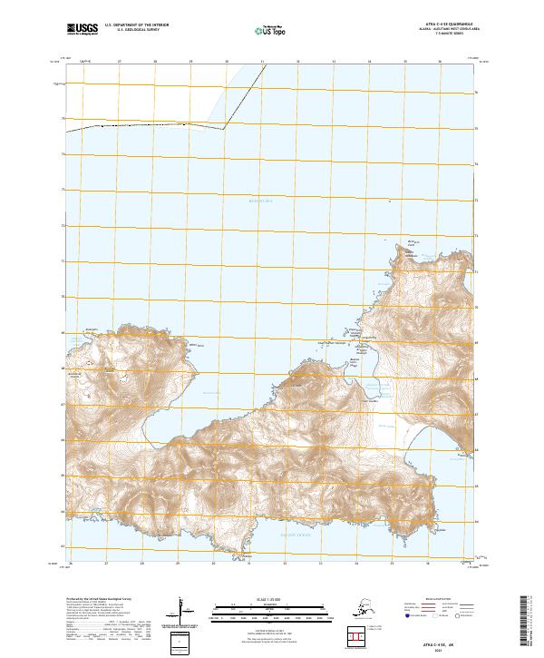
2021 Map of Atka C-4 SE
USGS Topo · Published 2021About this map
The Andreanof Islands chain within the Aleutian Islands archipelago is captured here, showcasing a landscape defined by the convergence of the Bering Sea and the Pacific Ocean. This high-latitude coastal environment is deeply indented by maritime features such as Bechevin Bay and Sergief Bay. The shoreline is marked by a complex series of indigenous-named landmarks, including Unguchiing Yaaga, Sitam Gutikix, and Baanax Itam-yaaga, reflecting the deep cultural geography of the region. The inland terrain rises sharply from the sea, punctuated by peaks like Uutuux and Ikiidaga. The narrow neck at Adgayus Portage Galvanaa Lagoon suggests a historic transit point between the northern and southern coastlines. This 2021 survey serves as a precise record of the shoreline and elevation for this remote portion of the Aleutians West Census Area.
Find a feature on this map
35 named features on this map. Tap any name to fly to it.
Don’t see what you’re looking for? This feature index may not catch every label — zoom into the map to look around manually.
Map Details
Editions of this 2021 Atka C-4 SE Map
This is the sole edition of this map. No revisions or reprints were ever made.