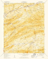
1958 Map of Atkins
USGS Topo · Published 1960About this map
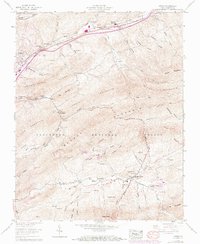
Atkins and Sugar Grove anchor this 1958 survey of Smyth County, showing a landscape defined by the parallel ridges of Chestnut Mountain and Brushy Mountain. The northern corridor is dominated by the Norfolk and Western RR and the Lee Highway, facilitating transit through settlements like Mt Carmel and Middle. In contrast, the southern portion of the map reveals a more industrial and rural character, where the South Fork Holston River winds past Roberts Mill and the small community of Slabtown.
Find a feature on this map
78 named features on this map. Tap any name to fly to it.
Don’t see what you’re looking for? This feature index may not catch every label — zoom into the map to look around manually.
Map Details
Editions of this 1958 Atkins Map
6 editions found
Other maps of this area

1889 · Wytheville
USGS Topo · 1:125,000

1891 · Abingdon
USGS Topo · 1:125,000

1892 · Wytheville
USGS Topo · 1:125,000

1894 · Abingdon
USGS Topo · 1:125,000

1909 · Abingdon
USGS Topo · 1:96,000

1911 · Abingdon
USGS Topo · 1:125,000

1931 · Rural Retreat
USGS Topo · 1:48,000
1934 · Chatham Hill
USGS Topo · 1:24,000

1935 · Nebo
USGS Topo · 1:24,000

1935 · Mouth of Wilson
USGS Topo · 1:48,000