Loading...
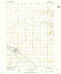
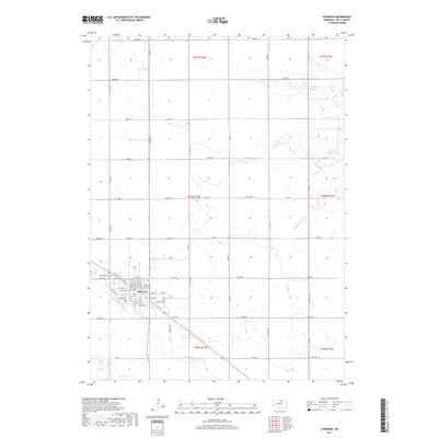
Loading map...1954 Map of Atkinson
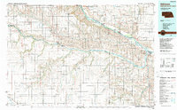
USGS Topo · Published 1955About this map
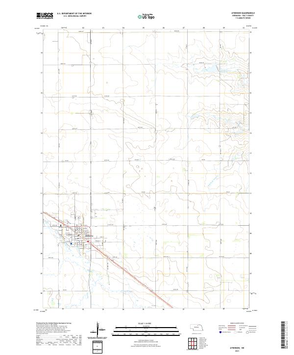
Atkinson serves as the central hub of this Nebraska landscape, situated at the junction of the Chicago and North Western railroad and the Elkhorn River. The map captures a transition in land use during the mid-1950s, where traditional water features like the Mill Race and the Atkinson Lake reservoir exist alongside modern industrial elements including a Clay Pit and Gravel Pit.
Find a feature on this map
25 named features on this map. Tap any name to fly to it.
Don’t see what you’re looking for? This feature index may not catch every label — zoom into the map to look around manually.
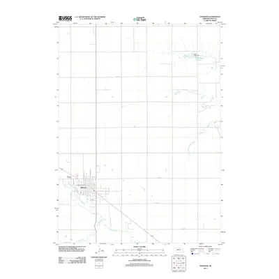
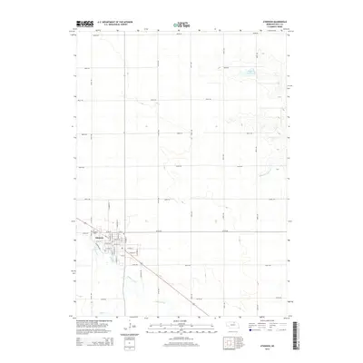
Map Details
Date Portrayed1954
Date Published1955
PublisherU.S. Geological Survey
Map TypeTopographic
Scale1:24,000
Physical Dimensions21.9 x 26.8 inches
Editions of this 1954 Atkinson Map
This is the sole edition of this map. No revisions or reprints were ever made.
Historical Maps of Atkinson Through Time
6 maps found
Featured Locations
Source Details
SourceU.S. Geological Survey
CopyrightPublic Domain