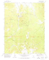
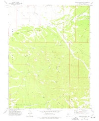
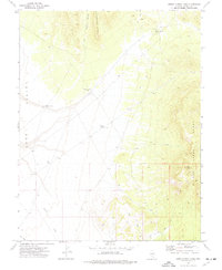
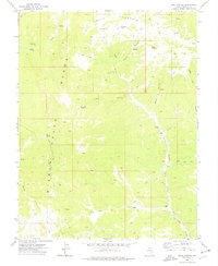
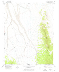
1973 Map of Atlanta
USGS Topo · Published 1977About this map
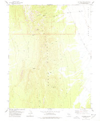
Atlanta Mine and the Hulse Mine anchor this high-desert landscape in Lincoln County, reflecting a history of resource extraction near the Atlanta settlement. The terrain is dominated by the Wilson Creek Range and the high Limestone Hills, with water sources like Silver Park Springs and Brown Water Spring serving as vital landmarks for those navigating the area. The presence of Tailings Ponds and several sites marked Prospect indicate the ongoing industrial footprint during the early 1970s. For those tracing historical land use, the map details an extensive network of Jeep Trails and unnamed trails connecting peaks such as Rosencrans Peak and Atlanta Peak to the flatter reaches of Empy Meadows and Table Mountain. This topography reveals a landscape defined by isolated mining activity and rugged mountain access.
Find a feature on this map
33 named features on this map. Tap any name to fly to it.
Don’t see what you’re looking for? This feature index may not catch every label — zoom into the map to look around manually.
Map Details
Editions of this 1973 Atlanta Map
This is the sole edition of this map. No revisions or reprints were ever made.
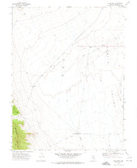
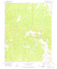
Other maps of this area

1956 · Lund
USGS Topo · 1:250,000

1960 · Lund
USGS Topo · 1:250,000
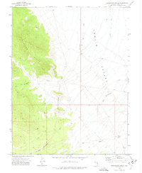
1972 · Rosencrans Knolls
USGS Topo · 1:24,000
1972 · Hyde Well
USGS Topo · 1:24,000
1972 · Miller Canyon
USGS Topo · 1:24,000
1973 · Schoolmarm Basin
USGS Topo · 1:24,000
1973 · Horse Corral Pass
USGS Topo · 1:24,000
1973 · Trail Canyon
USGS Topo · 1:24,000
1973 · Wells Summit
USGS Topo · 1:24,000
1978 · The Gouge Eye
USGS Topo · 1:24,000