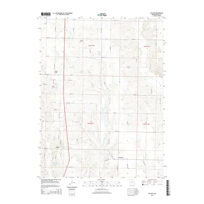
2014 Map of Atlanta
USGS Topo · Published 2014About this map
The town of Atlanta anchors the southern portion of this Macon County landscape, situated where the local road network converges near Atlanta City Lake. The terrain is defined by the winding course of the Middle Fork Salt River, which is fed by numerous named tributaries including Linn Br, Long Br, and Willow Br. These waterways create a series of ridges and hollows that dictate the placement of rural settlements and cemeteries throughout the township.
Find a feature on this map
60 named features on this map. Tap any name to fly to it.
Don’t see what you’re looking for? This feature index may not catch every label — zoom into the map to look around manually.
Map Details
Editions of this 2014 Atlanta Map
This is the sole edition of this map. No revisions or reprints were ever made.
Other maps of this area

1903 · Edina
USGS Topo · 1:125,000

1908 · Atlanta
USGS Topo · 1:62,500

1937 · Elmer
USGS Topo · 1:48,000

1938 · Kirksville
USGS Topo · 1:62,500

1940 · Kirksville
USGS Topo · 1:62,500

1942 · Elmer
USGS Topo · 1:62,500

1953 · Moberly
USGS Topo · 1:250,000

1954 · Centerville
USGS Topo · 1:250,000

1954 · Moberly
USGS Topo · 1:250,000

1957 · Moberly
USGS Topo · 1:250,000