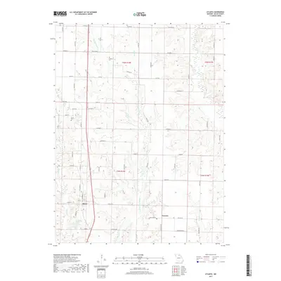
2017 Map of Atlanta
USGS Topo · Published 2017About this map
Atlanta and the smaller settlement of Economy anchor this portion of Macon County, where the agricultural landscape is shaped by the winding courses of the Middle Fork Salt River and its numerous tributaries. The terrain is a network of ridges and drainages, characterized by creeks such as Linn Br, Willow Br, and Bear Cr. Local genealogy and land use patterns are evidenced by the presence of Hardgrove Cem and Shiloh Cem, alongside local landmarks like Love Lake and Atlanta City Lake. The road network is organized largely along section lines, with many routes bearing family or descriptive names like Leopard Ave, Katydid St, and Kiln Rd. This survey captures a moment in the modern era where traditional rural boundaries persist alongside contemporary infrastructure, providing a detailed record of water features and secondary roads essential for local history research.
Find a feature on this map
63 named features on this map. Tap any name to fly to it.
Don’t see what you’re looking for? This feature index may not catch every label — zoom into the map to look around manually.
Map Details
Editions of this 2017 Atlanta Map
This is the sole edition of this map. No revisions or reprints were ever made.
Other maps of this area

1903 · Edina
USGS Topo · 1:125,000

1908 · Atlanta
USGS Topo · 1:62,500

1937 · Elmer
USGS Topo · 1:48,000

1938 · Kirksville
USGS Topo · 1:62,500

1940 · Kirksville
USGS Topo · 1:62,500

1942 · Elmer
USGS Topo · 1:62,500

1953 · Moberly
USGS Topo · 1:250,000

1954 · Centerville
USGS Topo · 1:250,000

1954 · Moberly
USGS Topo · 1:250,000

1957 · Moberly
USGS Topo · 1:250,000