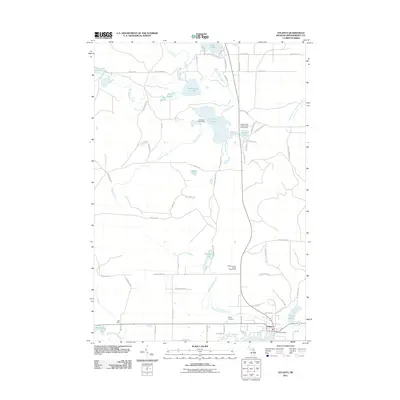
2011 Map of Atlanta
USGS Topo · Published 2011About this map
Atlanta serves as the focal point of this northern Michigan landscape, situated at the confluence of the Thunder Bay River and its various tributaries. The town’s layout is punctuated by essential civic landmarks including the Atlanta Post Office and the Montmorency County Fairgrounds. To the west, the geological feature known as Big Rock stands out against a backdrop of dense glacial lakes and stream networks. The area is characterized by an extensive system of forest roads and trails, such as Southwest Trl and Boundary Trl, which navigate the terrain between significant water bodies like Muskellunge Lake and Valentine Lake. Recreation is a dominant theme of the local geography, evidenced by the Elk Ridge Golf Course and the Jackson Lake State Forest Campground near Jackson Lake. For genealogists, the Briley Cemetery provides a specific point of interest north of the primary river fork.
Find a feature on this map
75 named features on this map. Tap any name to fly to it.
Don’t see what you’re looking for? This feature index may not catch every label — zoom into the map to look around manually.
Map Details
Editions of this 2011 Atlanta Map
This is the sole edition of this map. No revisions or reprints were ever made.
Other maps of this area

1949 · Lewiston
USGS Topo · 1:62,500

1950 · Lewiston
USGS Topo · 1:24,000

1951 · Lewiston
USGS Topo · 1:24,000

1954 · Hetherton
USGS Topo · 1:62,500

1954 · Traverse City
USGS Topo · 1:250,000

1955 · Atlanta
USGS Topo · 1:62,500

1955 · Comins
USGS Topo · 1:62,500

1955 · Cheboygan
USGS Topo · 1:250,000

1958 · Cheboygan
USGS Topo · 1:250,000

1958 · Traverse City
USGS Topo · 1:250,000