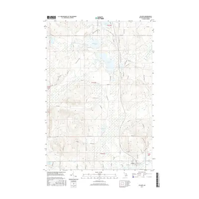
2017 Map of Atlanta
USGS Topo · Published 2017About this map
Atlanta serves as the focal point of this northern Michigan landscape, situated where the Thunder Bay River flows through Briley Township. The terrain is defined by a dense concentration of glacial water bodies, including Valentine Lake, Jackson Lake, and the larger East Twin Lake at the southeastern edge. These lakes are connected by a network of seasonal trails and specialized routes like the High Country Pathway and the Clear Lake - Jackson Lake Pathway, which navigate through the undulating elevations and the expansive Green Swamp.
Find a feature on this map
57 named features on this map. Tap any name to fly to it.
Don’t see what you’re looking for? This feature index may not catch every label — zoom into the map to look around manually.
Map Details
Editions of this 2017 Atlanta Map
This is the sole edition of this map. No revisions or reprints were ever made.
Other maps of this area

1949 · Lewiston
USGS Topo · 1:62,500

1950 · Lewiston
USGS Topo · 1:24,000

1951 · Lewiston
USGS Topo · 1:24,000

1954 · Hetherton
USGS Topo · 1:62,500

1954 · Traverse City
USGS Topo · 1:250,000

1955 · Atlanta
USGS Topo · 1:62,500

1955 · Comins
USGS Topo · 1:62,500

1955 · Cheboygan
USGS Topo · 1:250,000

1958 · Cheboygan
USGS Topo · 1:250,000

1958 · Traverse City
USGS Topo · 1:250,000