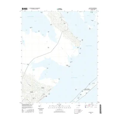
2016 Map of Atlantic
USGS Topo · Published 2016About this map
Cedar Island and the neighboring salt marshes of Carteret County define this coastal landscape, where land and water are inextricably linked by a complex network of bays, guts, and ditches. The settlement of Atlantic serves as a hub near the Atlantic Field Marine Corps Outlying Field, while the smaller community of Lola sits further north along Lola Rd. The influence of the maritime environment is visible in the many named points and hammocks, such as Bear Hammock and Sand Hill Point, which rise slightly above the surrounding wetlands.
Find a feature on this map
70 named features on this map. Tap any name to fly to it.
Don’t see what you’re looking for? This feature index may not catch every label — zoom into the map to look around manually.
Map Details
Editions of this 2016 Atlantic Map
This is the sole edition of this map. No revisions or reprints were ever made.
Other maps of this area

1948 · North Bay
USGS Topo · 1:24,000

1949 · Atlantic
USGS Topo · 1:24,000

1949 · Styron Bay
USGS Topo · 1:24,000

1949 · Point Of Marsh
USGS Topo · 1:24,000

1949 · Long Bay
USGS Topo · 1:24,000

1949 · Davis
USGS Topo · 1:24,000

1950 · Long Bay
USGS Topo · 1:24,000

1950 · North Bay
USGS Topo · 1:24,000

1950 · Point Of Marsh
USGS Topo · 1:24,000
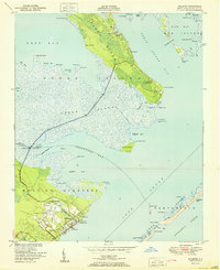
1951 · Atlantic
USGS Topo · 1:24,000