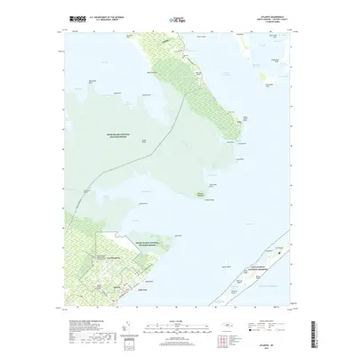
2019 Map of Atlantic
USGS Topo · Published 2019About this map
The low-lying salt marshes and maritime forests of the Outer Banks and mainland Carteret County define this coastal landscape. The settlement of Atlantic serves as a hub for the southern portion of the map, characterized by a grid of local roads like Core Sound Loop Rd and the presence of the Atlantic Cem. To the north, the isolated community of Lola sits at the end of Lola Rd on Cedar Island, surrounded by the expansive Cedar Island National Wildlife Refuge.
Find a feature on this map
74 named features on this map. Tap any name to fly to it.
Don’t see what you’re looking for? This feature index may not catch every label — zoom into the map to look around manually.
Map Details
Editions of this 2019 Atlantic Map
This is the sole edition of this map. No revisions or reprints were ever made.
Other maps of this area

1948 · North Bay
USGS Topo · 1:24,000

1949 · Atlantic
USGS Topo · 1:24,000

1949 · Styron Bay
USGS Topo · 1:24,000

1949 · Point Of Marsh
USGS Topo · 1:24,000

1949 · Long Bay
USGS Topo · 1:24,000

1949 · Davis
USGS Topo · 1:24,000

1950 · Long Bay
USGS Topo · 1:24,000

1950 · North Bay
USGS Topo · 1:24,000

1950 · Point Of Marsh
USGS Topo · 1:24,000
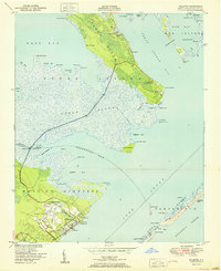
1951 · Atlantic
USGS Topo · 1:24,000