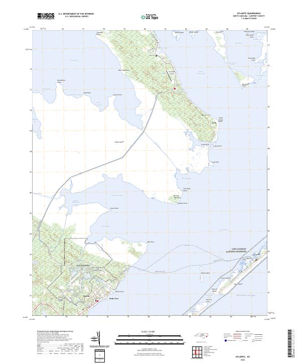
2022 Map of Atlantic
USGS Topo · Published 2022About this map
Atlantic and the small coastal settlements of Lola and Little Port anchor this coastal landscape where the mainland gives way to the vast estuarine waters of Core Sound and West Bay. The region is defined by a complex network of marshes and tidal channels, largely preserved within the Cedar Island National Wildlife Refuge and the southern reaches of Cape Lookout National Seashore. Marine and aviation history is evident through the presence of OLF Atlantic and the Atlantic Field Marine Corps Outlying Field, alongside local airstrips like Wolf's Den Airport. Family genealogy is well-documented through localized burial sites such as Atlantic Cem, Gilgo Cem, and Lupton Cem. The map illustrates the specialized infrastructure of the Outer Banks, including the Vehicle Ferry Trail and the sandy reaches of Core Banks, reflecting a community deeply tied to the maritime environment of the Atlantic Ocean.
Find a feature on this map
79 named features on this map. Tap any name to fly to it.
Don’t see what you’re looking for? This feature index may not catch every label — zoom into the map to look around manually.
Map Details
Editions of this 2022 Atlantic Map
This is the sole edition of this map. No revisions or reprints were ever made.
Other maps of this area

1948 · North Bay
USGS Topo · 1:24,000

1949 · Atlantic
USGS Topo · 1:24,000

1949 · Styron Bay
USGS Topo · 1:24,000

1949 · Point Of Marsh
USGS Topo · 1:24,000

1949 · Long Bay
USGS Topo · 1:24,000

1949 · Davis
USGS Topo · 1:24,000

1950 · Long Bay
USGS Topo · 1:24,000

1950 · North Bay
USGS Topo · 1:24,000

1950 · Point Of Marsh
USGS Topo · 1:24,000
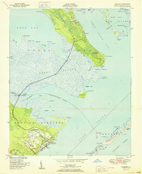
1951 · Atlantic
USGS Topo · 1:24,000