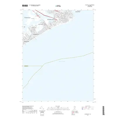
2019 Map of Atlantic City
USGS Topo · Published 2019About this map
Atlantic City serves as the focal point of this coastal study, illustrating the dense grid of streets and avenues that define the resort community as it appeared in the late 2010s. The map captures the complex geography of the barrier island and its back-bay surroundings, including the residential neighborhoods of Chelsea Heights and Ventnor Heights. Key civic and educational institutions, such as the Atlantic County Civil Courts Building and the Stockton University Atlantic City campus, are clearly documented alongside the major arterial routes like Absecon Blvd.
Find a feature on this map
81 named features on this map. Tap any name to fly to it.
Don’t see what you’re looking for? This feature index may not catch every label — zoom into the map to look around manually.
Map Details
Editions of this 2019 Atlantic City Map
This is the sole edition of this map. No revisions or reprints were ever made.
Other maps of this area

1884 · Sea Isle
USGS Topo · 1:62,500

1887 · Atlantic City
USGS Topo · 1:62,500

1888 · Sea Isle
USGS Topo · 1:62,500

1890 · Great Egg Harbor
USGS Topo · 1:62,500

1893 · Great Egg Harbor
USGS Topo · 1:62,500

1894 · Sea Isle
USGS Topo · 1:62,500

1894 · Atlantic City
USGS Topo · 1:62,500

1918 · Great Egg Harbor
USGS Topo · 1:62,500

1919 · Sea Isle
USGS Topo · 1:62,500

1940 · Atlantic City
USGS Topo · 1:62,500