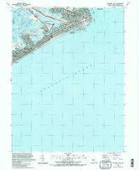
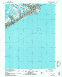
2023 Map of Atlantic City
USGS Topo · Published 2023About this map
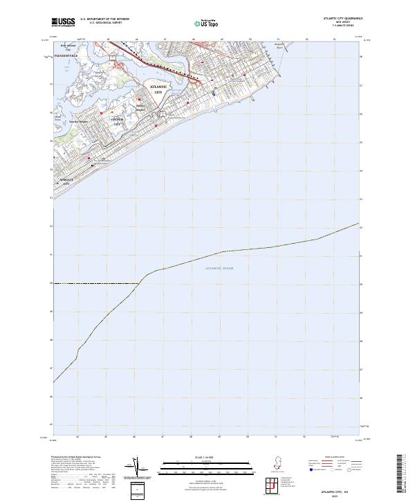
Atlantic City and its neighboring barrier island communities are defined by a complex network of coastal waterways and urban development. This modern survey illustrates the dense residential grid of Ventnor City and Margate City, showing how the settlements are physically separated from the mainland by Lakes Bay and a series of tidal channels including Beach Thorofare and Inside Thorofare. The map documents the persistent geography of the Intracoastal Waterway as it cuts behind the beachfront blocks.
Find a feature on this map
79 named features on this map. Tap any name to fly to it.
Don’t see what you’re looking for? This feature index may not catch every label — zoom into the map to look around manually.
Map Details
Editions of this 2023 Atlantic City Map
This is the sole edition of this map. No revisions or reprints were ever made.
Historical Maps of Venice Park Through Time
9 maps found

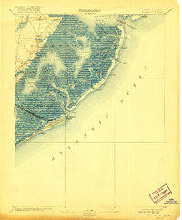
1887 Atlantic City
Atlantic County, NJ
1894 Atlantic City
Atlantic County, NJ

1940 Atlantic City
Atlantic County, NJ
1941 Atlantic City
Atlantic County, NJ
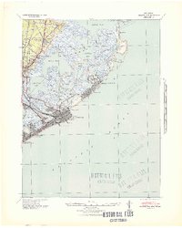
1952 Atlantic City
Atlantic County, NJ

1984 Atlantic City
Atlantic County, NJ
1989 Atlantic City
Atlantic County, NJ
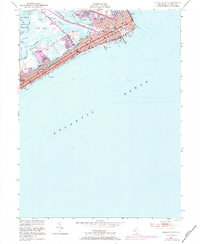
1994 Atlantic City
Atlantic County, NJ
2023 Atlantic City
Atlantic County, NJ