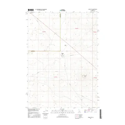
2017 Map of Atomic City
USGS Topo · Published 2017About this map
Atomic City sits at the intersection of high-desert infrastructure and the open terrain of the Snake River Plain. This 2017 survey details the modest grid of the small community, including Second W St and 2655 W, positioned near the Midway Airport. The landscape is defined by its arid character and distinctive volcanic topography, notably the prominent Table Legs Butte to the southeast and the broad expanse of Ryegrass Flat in the northwest. Long stretches of road like Taber Rd and Big Butte Rd connect these remote points, while Cottontail Waterhole provides a rare named water feature in the otherwise dry landscape. The map also delineates the jurisdictional boundary between Butte County and Bingham County, illustrating how this isolated settlement bridges the two regions.
Find a feature on this map
18 named features on this map. Tap any name to fly to it.
Don’t see what you’re looking for? This feature index may not catch every label — zoom into the map to look around manually.
Map Details
Editions of this 2017 Atomic City Map
This is the sole edition of this map. No revisions or reprints were ever made.
Other maps of this area

1955 · Idaho Falls
USGS Topo · 1:250,000

1958 · Idaho Falls
USGS Topo · 1:250,000

1973 · Scoville
USGS Topo · 1:24,000

1973 · Middle Butte
USGS Topo · 1:24,000

1973 · Taber
USGS Topo · 1:24,000

1973 · Rock Butte
USGS Topo · 1:24,000

1973 · Atomic City
USGS Topo · 1:24,000

1973 · Lava Lake Reservoir
USGS Topo · 1:24,000

1973 · Circular Butte 3 SW
USGS Topo · 1:24,000

1973 · Circular Butte 3 SE
USGS Topo · 1:24,000