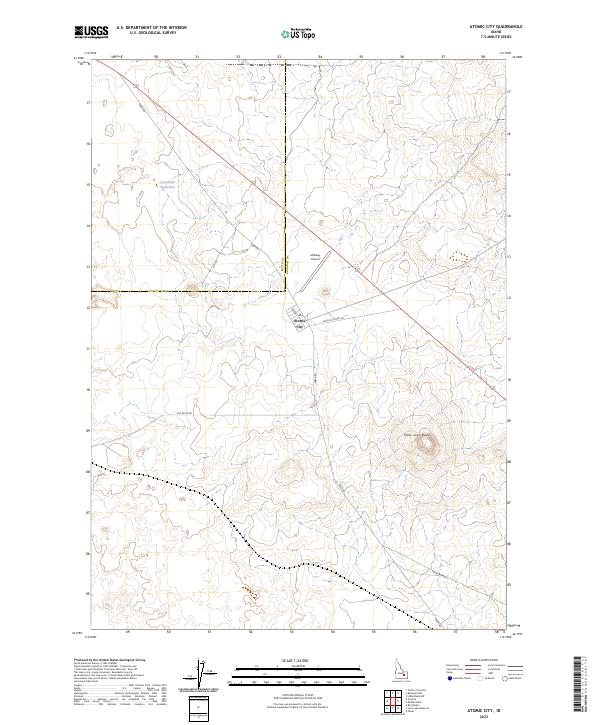
2023 Map of Atomic City
USGS Topo · Published 2023About this map
Atomic City serves as the focal point of this high-desert landscape near the border of Butte and Bingham counties. The settlement is positioned along the intersection of local routes including Taber Rd and the Main Rd to Hwy 26, reflecting its role as a remote waypoint in an area shaped by scientific and volcanic history. The topography is defined by significant volcanic features such as Table Legs Butte, which rises above the surrounding plains.
Find a feature on this map
15 named features on this map. Tap any name to fly to it.
Don’t see what you’re looking for? This feature index may not catch every label — zoom into the map to look around manually.
Map Details
Editions of this 2023 Atomic City Map
This is the sole edition of this map. No revisions or reprints were ever made.
Other maps of this area

1955 · Idaho Falls
USGS Topo · 1:250,000

1958 · Idaho Falls
USGS Topo · 1:250,000

1973 · Scoville
USGS Topo · 1:24,000

1973 · Middle Butte
USGS Topo · 1:24,000

1973 · Taber
USGS Topo · 1:24,000

1973 · Rock Butte
USGS Topo · 1:24,000

1973 · Atomic City
USGS Topo · 1:24,000

1973 · Lava Lake Reservoir
USGS Topo · 1:24,000

1973 · Circular Butte 3 SW
USGS Topo · 1:24,000

1973 · Circular Butte 3 SE
USGS Topo · 1:24,000