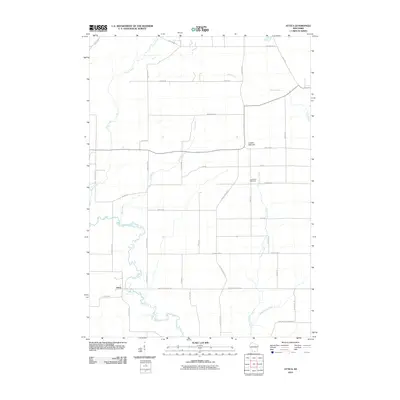
2010 Map of Attica
USGS Topo · Published 2010About this map
Sugar River meanders through the southern reaches of this landscape, anchoring the settlement of Attica. This region of Green County is defined by a dense network of tributaries including Story Creek, Gill Creek, and Liberty Creek, which drain toward the larger river valley. The agricultural heritage of the area is evident in the rural road grid, where local naming conventions like English Settlement Rd and Sandy Hook Rd suggest the early immigrant roots of the community. Topographically, the land is relatively level, broken primarily by the distinct rise of Liberty Pole Hill in the northeast. Genealogists and local historians can find specific points of interest such as the Jug Prairie Cemetery, situated between the forks of the northern creeks. The map captures a moment in the early 21st century when the landscape remained primarily rural, characterized by scattered farmsteads and established country roads.
Find a feature on this map
37 named features on this map. Tap any name to fly to it.
Don’t see what you’re looking for? This feature index may not catch every label — zoom into the map to look around manually.
Map Details
Editions of this 2010 Attica Map
This is the sole edition of this map. No revisions or reprints were ever made.
Other maps of this area

1889 · Evansville
USGS Topo · 1:62,500

1893 · Brodhead
USGS Topo · 1:62,500

1894 · Evansville
USGS Topo · 1:62,500

1906 · Evansville
USGS Topo · 1:62,500

1920 · Monroe
USGS Topo · 1:62,500

1922 · Monroe
USGS Topo · 1:62,500

1923 · New Glarus
USGS Topo · 1:62,500

1954 · Rockford
USGS Topo · 1:250,000

1955 · Rockford
USGS Topo · 1:250,000

1958 · Rockford
USGS Topo · 1:250,000