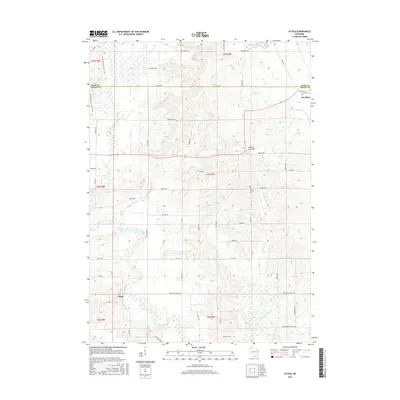
2016 Map of Attica
USGS Topo · Published 2016About this map
The Sugar River and its numerous tributaries dominate this rural landscape in Green and Dane Counties. The settlement of Attica sits along the river's path in the southwest, while Brooklyn occupies the northeastern corner of the map. Between these points, the land is defined by a dense network of country roads including Zweifel Rd, Freidig Rd, and Mortensen Rd, tracing a patchwork of agricultural fields and farmsteads.
Find a feature on this map
55 named features on this map. Tap any name to fly to it.
Don’t see what you’re looking for? This feature index may not catch every label — zoom into the map to look around manually.
Map Details
Editions of this 2016 Attica Map
This is the sole edition of this map. No revisions or reprints were ever made.
Other maps of this area

1889 · Evansville
USGS Topo · 1:62,500

1893 · Brodhead
USGS Topo · 1:62,500

1894 · Evansville
USGS Topo · 1:62,500

1906 · Evansville
USGS Topo · 1:62,500

1920 · Monroe
USGS Topo · 1:62,500

1922 · Monroe
USGS Topo · 1:62,500

1923 · New Glarus
USGS Topo · 1:62,500

1954 · Rockford
USGS Topo · 1:250,000

1955 · Rockford
USGS Topo · 1:250,000

1958 · Rockford
USGS Topo · 1:250,000