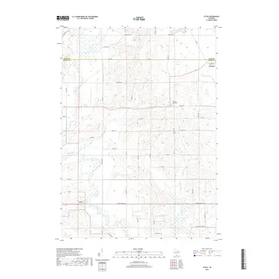
2018 Map of Attica
USGS Topo · Published 2018About this map
The Sugar River meanders through the heart of the Exeter countryside, anchoring a landscape defined by small-scale agriculture and early pioneer legacies. In the southeast, Brooklyn sits at the intersection of Dane and Green Counties, while the unincorporated settlement of Attica remains a quiet outpost on the river’s edge. This area is characterized by its network of creeks—including Story Creek, Allen Creek, and Gill Creek—which cut through the terrain near notable landmarks like Liberty Pole Hill. Genealogists and local historians can trace legacy paths such as English Settlement Rd and Norwegian Rd, which reflect the nineteenth-century immigrant groups that established these homesteads. The Jug Prairie Cem provides a specific point of reference for researchers investigating the families who first cleared these fields.
Find a feature on this map
30 named features on this map. Tap any name to fly to it.
Don’t see what you’re looking for? This feature index may not catch every label — zoom into the map to look around manually.
Map Details
Editions of this 2018 Attica Map
This is the sole edition of this map. No revisions or reprints were ever made.
Other maps of this area

1889 · Evansville
USGS Topo · 1:62,500

1893 · Brodhead
USGS Topo · 1:62,500

1894 · Evansville
USGS Topo · 1:62,500

1906 · Evansville
USGS Topo · 1:62,500

1920 · Monroe
USGS Topo · 1:62,500

1922 · Monroe
USGS Topo · 1:62,500

1923 · New Glarus
USGS Topo · 1:62,500

1954 · Rockford
USGS Topo · 1:250,000

1955 · Rockford
USGS Topo · 1:250,000

1958 · Rockford
USGS Topo · 1:250,000