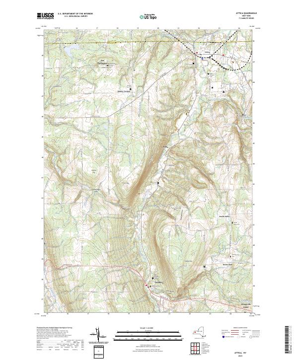
2023 Map of Attica
USGS Topo · Published 2023About this map
Tonawanda Creek carves a central path through this Wyoming County landscape, anchoring a corridor of agricultural and municipal development. The village of Attica dominates the northern reaches, where historic street grids like Buffalo St and Market St meet. To the south, the terrain becomes more varied, characterized by the Konawaugus Valley and prominent rises such as Cobble Hill and Orr Hill. The map is particularly notable for its concentration of burial sites, ranging from the Prison Cem near Stevens Reservoir to small family and parish grounds like Maxon Cem and Saint Josephs Cem. This rural network is punctuated by crossroads settlements like Varysburg and Sierks, while the Trump Mountain Airport and Stony Brook Glen offer evidence of the area's modern land use and natural conservation.
Find a feature on this map
92 named features on this map. Tap any name to fly to it.
Don’t see what you’re looking for? This feature index may not catch every label — zoom into the map to look around manually.
Map Details
Editions of this 2023 Attica Map
This is the sole edition of this map. No revisions or reprints were ever made.
Other maps of this area

1904 · Batavia
USGS Topo · 1:62,500

1905 · Attica
USGS Topo · 1:62,500

1905 · Portage
USGS Topo · 1:62,500

1923 · Arcade
USGS Topo · 1:62,500

1925 · Arcade
USGS Topo · 1:62,500

1943 · Warsaw
USGS Topo · 1:24,000

1944 · Alexander
USGS Topo · 1:31,680

1944 · Warsaw
USGS Topo · 1:31,680

1949 · Attica
USGS Topo · 1:62,500

1949 · Alexander
USGS Topo · 1:24,000