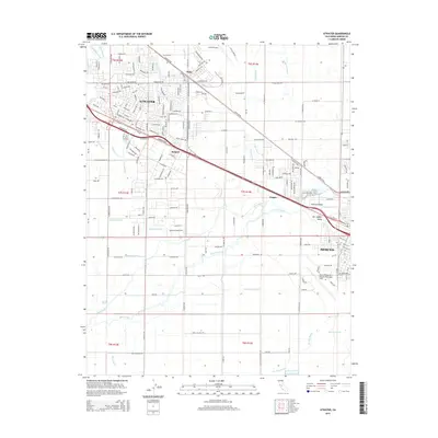
2015 Map of Atwater
USGS Topo · Published 2015About this map
Atwater and the northwestern reaches of Merced anchor this Central Valley landscape, which is defined by a sophisticated network of agricultural water management. The irrigation infrastructure is remarkably dense, featuring the Atwater Canal, Livingston Canal, and numerous smaller channels like the Bloss Lateral and Stickney Lateral that crisscross the valley floor. These man-made waterways operate alongside natural drainage systems such as Bear Creek and Hartley Slough, illustrating how the region's hydrology was engineered to support intensive cultivation.
Find a feature on this map
77 named features on this map. Tap any name to fly to it.
Don’t see what you’re looking for? This feature index may not catch every label — zoom into the map to look around manually.
Map Details
Editions of this 2015 Atwater Map
This is the sole edition of this map. No revisions or reprints were ever made.
Other maps of this area

1914 · Merced
USGS Topo · 1:31,680

1916 · Hopeton
USGS Topo · 1:31,680

1916 · Cressey
USGS Topo · 1:31,680

1917 · Winton
USGS Topo · 1:31,680

1917 · Merced
USGS Topo · 1:31,680

1918 · Arena
USGS Topo · 1:31,680

1918 · Lingard
USGS Topo · 1:31,680

1918 · Atwater
USGS Topo · 1:31,680

1918 · Sandy Mush
USGS Topo · 1:31,680

1918 · Turner Ranch
USGS Topo · 1:31,680