Loading...
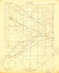
Loading map...1918 Map of Atwater
USGS Topo · Published 1918About this map
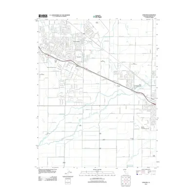
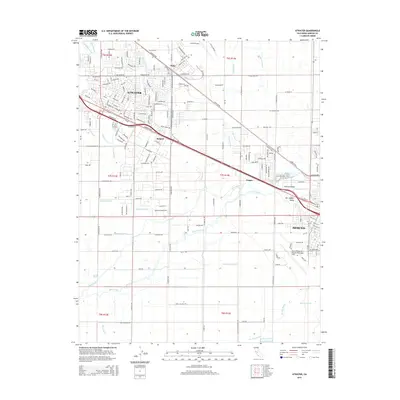
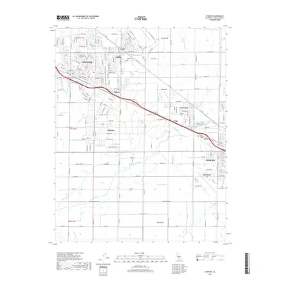
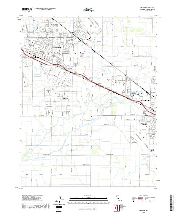
Atwater is the primary hub of this Central Valley landscape, where the Southern Pacific line and the early State Highway parallel each other through the town's core. The region's development is largely defined by its intricate water management and transportation networks, featuring the Atchison Topeka and Santa Fe cutting diagonally across the north and the Oakdale Branch Southern Pacific running along the eastern edge.
Find a feature on this map
19 named features on this map. Tap any name to fly to it.
Don’t see what you’re looking for? This feature index may not catch every label — zoom into the map to look around manually.
Map Details
Date Portrayed1918
Date Published1918
PublisherU.S. Geological Survey
Map TypeTopographic
Scale1:31,680
Physical Dimensions16.4 x 20 inches
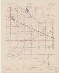
Editions of this 1918 Atwater Map
This is the sole edition of this map. No revisions or reprints were ever made.
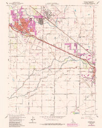
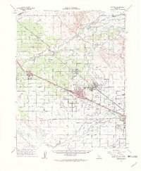
Historical Maps of Merced Through Time
8 maps found
Featured Locations
Source Details
SourceU.S. Geological Survey
CopyrightPublic Domain