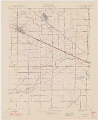
1948 Map of Atwater
USGS Topo · Published 1948About this map
Castle Field and the adjacent U S Military Reservation dominate the northern landscape of this Merced County study, revised shortly after the war's end. The city of Atwater serves as a primary hub, sitting at the junction of the Southern Pacific Railroad and arterial routes like Atwater Jordan Avenue. The region’s agricultural character is evidenced by a dense network of irrigation infrastructure, including the Atwater Canal, Winton Canal, and Livingston Canal, which feed the surrounding valley floor.
Find a feature on this map
62 named features on this map. Tap any name to fly to it.
Don’t see what you’re looking for? This feature index may not catch every label — zoom into the map to look around manually.
Map Details
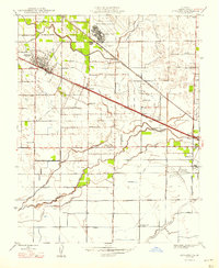
Editions of this 1948 Atwater Map
2 editions found
Other maps of this area

1914 · Merced
USGS Topo · 1:31,680

1916 · Hopeton
USGS Topo · 1:31,680

1916 · Cressey
USGS Topo · 1:31,680

1917 · Winton
USGS Topo · 1:31,680

1917 · Merced
USGS Topo · 1:31,680

1918 · Arena
USGS Topo · 1:31,680

1918 · Lingard
USGS Topo · 1:31,680

1918 · Atwater
USGS Topo · 1:31,680

1918 · Sandy Mush
USGS Topo · 1:31,680

1918 · Turner Ranch
USGS Topo · 1:31,680