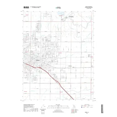
1914 Map of Merced
USGS Topo · Published 1914About this map
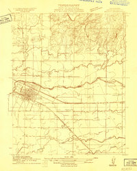
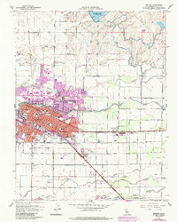
Merced serves as the focal point of this 1914 survey, depicted as a developing central California hub defined by its critical railroad junctions. The city's grid is positioned between the Southern Pacific and the Atchison Topeka and Santa Fe main line, reflecting its early importance as a shipping and transit point for the San Joaquin Valley. Key public infrastructure is already established, including the Merced County Hospital on the city's western edge.
Find a feature on this map
18 named features on this map. Tap any name to fly to it.
Don’t see what you’re looking for? This feature index may not catch every label — zoom into the map to look around manually.
Map Details
Editions of this 1914 Merced Map
This is the sole edition of this map. No revisions or reprints were ever made.
Historical Maps of Merced Through Time
11 maps found
1914 Merced
Merced County, CA
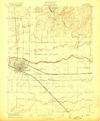
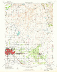
1917 Merced
Merced County, CA
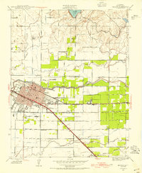
1946 Merced
Merced County, CA
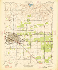
1948 Merced
Merced County, CA
1961 Merced
Merced County, CA
1962 Merced
Merced County, CA

1983 Merced
Merced County, CA
2012 Merced
Merced County, CA
2015 Merced
Merced County, CA
2018 Merced
Merced County, CA
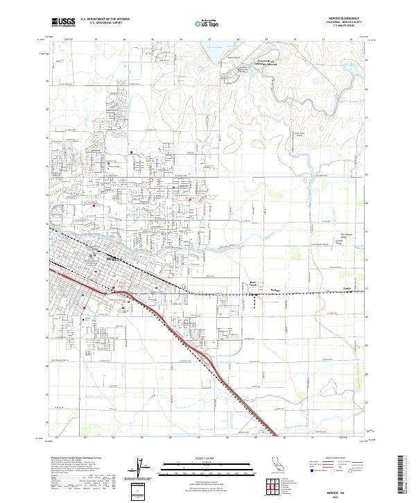
2021 Merced
Merced County, CA