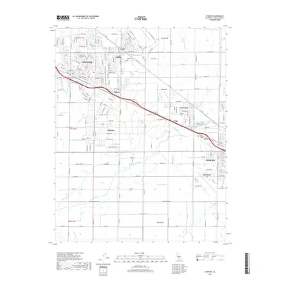
2018 Map of Atwater
USGS Topo · Published 2018About this map
Atwater serves as the central hub of this Central Valley landscape, where an intricate network of irrigation laterals and drains supports the region's agricultural character. The map illustrates a highly organized grid of water management, including the Livingston Canal, Atwater Canal, and Buhach Lateral, which weave between small community clusters like Buhach and Castle Gardens. The influence of aviation and transit is evident in the layout of Merced Regional Airport/Macready Field and the corridor along Southern Pacific Ave.
Find a feature on this map
223 named features on this map. Tap any name to fly to it.
Don’t see what you’re looking for? This feature index may not catch every label — zoom into the map to look around manually.
Map Details
Editions of this 2018 Atwater Map
This is the sole edition of this map. No revisions or reprints were ever made.
Other maps of this area

1914 · Merced
USGS Topo · 1:31,680

1916 · Hopeton
USGS Topo · 1:31,680

1916 · Cressey
USGS Topo · 1:31,680

1917 · Winton
USGS Topo · 1:31,680

1917 · Merced
USGS Topo · 1:31,680

1918 · Arena
USGS Topo · 1:31,680

1918 · Lingard
USGS Topo · 1:31,680

1918 · Atwater
USGS Topo · 1:31,680

1918 · Sandy Mush
USGS Topo · 1:31,680

1918 · Turner Ranch
USGS Topo · 1:31,680