2023 Map of Atwood
USGS Topo · Published 2023About this map
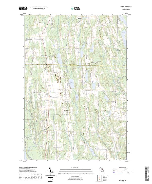
Atwood sits at a central intersection in the lake-studded landscape of Antrim County, marking a point of transition between the inland waters and the higher ground of northern Michigan. This modern survey illustrates the distribution of community centers like Ellsworth and Norwood, alongside smaller hamlets such as Barnard and Phelps. The map traces a dense network of water features, including Little Torch Lake, Lake Marion, and Eaton Lake, which define the region's drainage and local geography. For genealogists and local historians, the sheet provides exact locations for several community burial sites, such as the Atwood Cem, Ellsworth Cem, and the Catholic Cem. The rural road system, from Old Dixie Hwy to numerous family-named routes like Klooster Rd and Phelps Rd, reflects the area's agricultural and residential development patterns.
Find a feature on this map
114 named features on this map. Tap any name to fly to it.
Don’t see what you’re looking for? This feature index may not catch every label — zoom into the map to look around manually.
Map Details
Editions of this 2023 Atwood Map
This is the sole edition of this map. No revisions or reprints were ever made.
Historical Maps of Antrim County Through Time
12 maps found
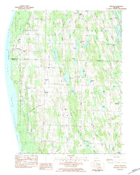
1975 Mancelona NE
Antrim County, MI
1975 Mancelona NW
Antrim County, MI
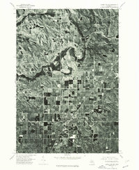
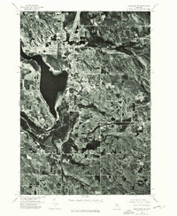
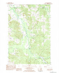
1983 Atwood
Antrim County, MI
1983 Chestonia
Antrim County, MI
1983 Scotts Lake
Antrim County, MI
1986 Deadmans Hill
Antrim County, MI
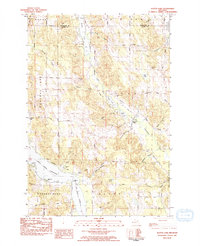
2023 Atwood
Antrim County, MI
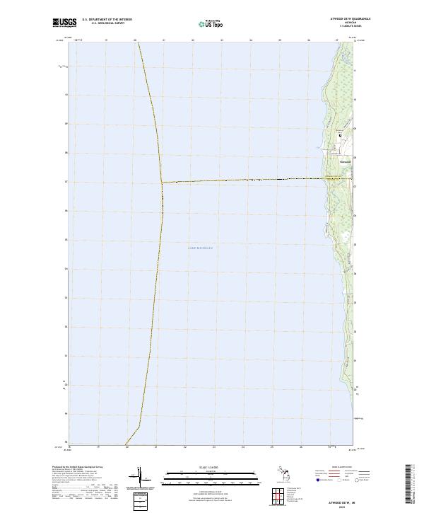
2023 Atwood OE W
Antrim County, MI
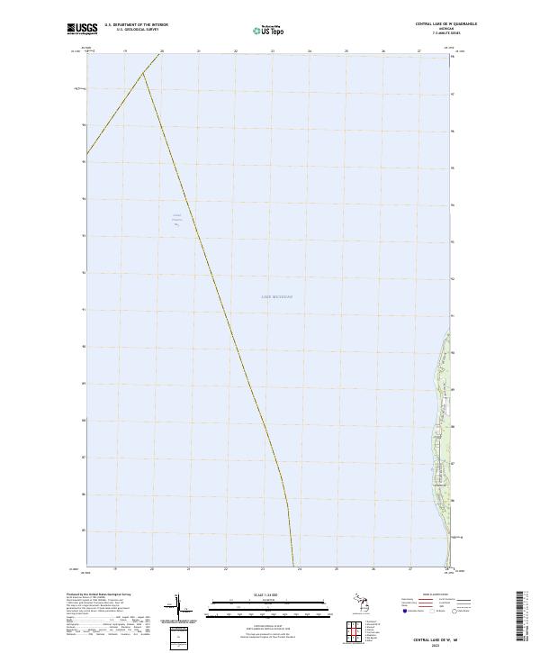
2023 Central Lake OE W
Antrim County, MI

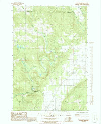
2023 Chestonia
Antrim County, MI
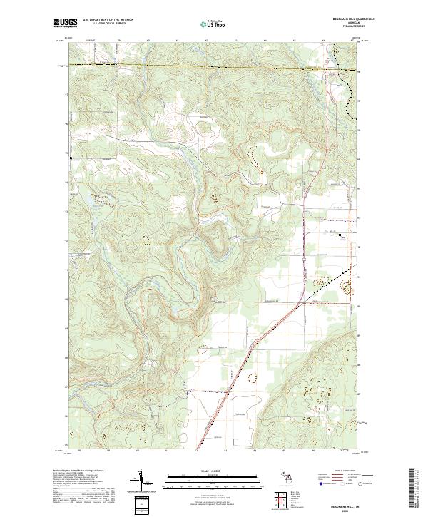
2023 Deadmans Hill
Antrim County, MI
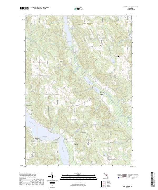
2023 Scotts Lake
Antrim County, MI
Featured Locations
- Marion Township, MI
- Banks Township, MI
- Phelps, Marion Township
- Atwood, Banks Township
- Ellsworth, Banks Township