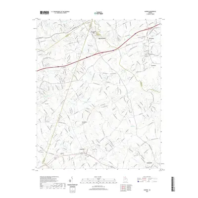
2020 Map of Auburn
USGS Topo · Published 2020About this map
Braselton and Hoschton anchor the northern reaches of this Georgia landscape, where the Mulberry River and its namesake Mulberry Ridge define the upper terrain. The area is a complex junction of local jurisdictions, showing the meeting points of Hall, Gwinnett, Jackson, and Barrow counties. This modern topographic record captures the transition from the industrial corridor near Winder and the Barrow County Courthouse to the more rural, creek-carved lands surrounding the Little Mulberry River.
Find a feature on this map
241 named features on this map. Tap any name to fly to it.
Don’t see what you’re looking for? This feature index may not catch every label — zoom into the map to look around manually.
Map Details
Editions of this 2020 Auburn Map
This is the sole edition of this map. No revisions or reprints were ever made.
Other maps of this area

1891 · Gainesville
USGS Topo · 1:125,000

1896 · Monroe
USGS Topo · 1:125,000

1953 · Athens
USGS Topo · 1:250,000

1954 · Greenville
USGS Topo · 1:250,000

1958 · Greenville
USGS Topo · 1:250,000

1958 · Athens
USGS Topo · 1:250,000

1959 · Athens
USGS Topo · 1:250,000

1963 · Athens
USGS Topo · 1:250,000

1964 · Hog Mountain
USGS Topo · 1:24,000

1964 · Chestnut Mountain
USGS Topo · 1:24,000