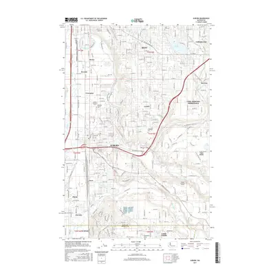
2017 Map of Auburn
USGS Topo · Published 2017About this map
The White River and Green River converge in this urban and suburban corridor of the Puget Sound lowlands, where dense residential development meets industrial activity. Auburn and Kent serve as the primary anchors, connected by a complex grid of roads and railroads that navigate the valley floor. Educational and aviation infrastructure is prominent, with the Green River Community College campus and Northwest Aviation College situated near the Auburn Municipal Airport.
Find a feature on this map
134 named features on this map. Tap any name to fly to it.
Don’t see what you’re looking for? This feature index may not catch every label — zoom into the map to look around manually.
Map Details
Editions of this 2017 Auburn Map
This is the sole edition of this map. No revisions or reprints were ever made.
Other maps of this area

1897 · Tacoma
USGS Topo · 1:125,000

1900 · Tacoma
USGS Topo · 1:125,000

1941 · Tacoma South
USGS Topo · 1:62,500
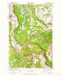
1942 · Lake Tapps
USGS Topo · 1:62,500
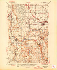
1944 · Lake Tapps
USGS Topo · 1:62,500
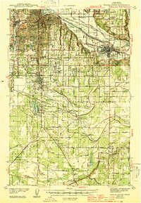
1944 · Tacoma South
USGS Topo · 1:62,500
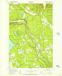
1949 · Maple Valley
USGS Topo · 1:24,000
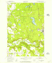
1949 · Black Diamond
USGS Topo · 1:24,000
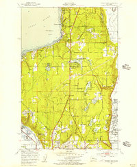
1949 · Poverty Bay
USGS Topo · 1:24,000
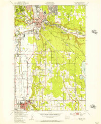
1949 · Renton
USGS Topo · 1:24,000