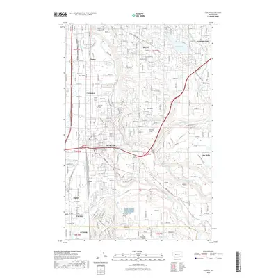
2020 Map of Auburn
USGS Topo · Published 2020About this map
Auburn serves as the central hub of this King County landscape, where the confluence of the White River and the Green River has shaped both the terrain and the settlement patterns. The industrial and transportation history of the region is evident in the path of the BNSF Railway and the presence of specialized facilities like the Auburn Municipal Airport and Northwest Aviation College. Education and community infrastructure are well-established, with Green River Community College situated on Lea Hill and the Auburn Academy Airport to the east.
Find a feature on this map
134 named features on this map. Tap any name to fly to it.
Don’t see what you’re looking for? This feature index may not catch every label — zoom into the map to look around manually.
Map Details
Editions of this 2020 Auburn Map
This is the sole edition of this map. No revisions or reprints were ever made.
Other maps of this area

1897 · Tacoma
USGS Topo · 1:125,000

1900 · Tacoma
USGS Topo · 1:125,000

1941 · Tacoma South
USGS Topo · 1:62,500

1942 · Lake Tapps
USGS Topo · 1:62,500

1944 · Lake Tapps
USGS Topo · 1:62,500

1944 · Tacoma South
USGS Topo · 1:62,500

1949 · Maple Valley
USGS Topo · 1:24,000

1949 · Black Diamond
USGS Topo · 1:24,000

1949 · Poverty Bay
USGS Topo · 1:24,000

1949 · Renton
USGS Topo · 1:24,000