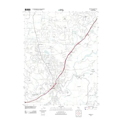
2012 Map of Auburn
USGS Topo · Published 2012About this map
Auburn serves as the focal point for this Placer County survey, illustrating the complex intersection of historical water management and modern infrastructure. The landscape is defined by an intricate network of canals, including the Gold Hill Canal, Bowman Canal, and South Canal, which historically supported the region's mining and agricultural development. The geography transitions from the urbanized corridors of North Auburn and the city center to the dramatic canyons of the North Fork American River and the Middle Fork American River. Local history is preserved through landmarks like the Mount Vernon Grange and the Auburn District Cem, while the industrial legacy of the area is visible at the Wise Penstock and the numerous named bars along the river, such as Murderers Bar and Louisiana Bar.
Find a feature on this map
84 named features on this map. Tap any name to fly to it.
Don’t see what you’re looking for? This feature index may not catch every label — zoom into the map to look around manually.
Map Details
Editions of this 2012 Auburn Map
This is the sole edition of this map. No revisions or reprints were ever made.
Other maps of this area

1888 · Smartsville
USGS Topo · 1:125,000

1891 · Sacramento
USGS Topo · 1:125,000

1891 · Colfax
USGS Topo · 1:125,000

1891 · Smartsville
USGS Topo · 1:125,000

1891 · Placerville
USGS Topo · 1:125,000

1892 · Sacramento
USGS Topo · 1:125,000

1892 · Placerville
USGS Topo · 1:125,000

1892 · Smartsville
USGS Topo · 1:125,000

1892 · Colfax
USGS Topo · 1:125,000

1893 · Placerville
USGS Topo · 1:125,000