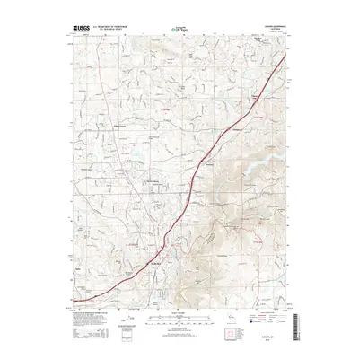
2015 Map of Auburn
USGS Topo · Published 2015About this map
Auburn and its surrounding Foothills communities are defined by an intricate network of water management, reflecting a legacy of hydraulic mining and agricultural development. This survey details the complex system of canals and ravines that segment the landscape, including the Bear River Canal, Wise Canal, and Gold Hill Canal. These waterways navigate the dramatic elevation changes around Sugar Pine Mtn and the Forest Hill Divide. The map shows the transition from the dense residential grid of North Auburn to the gold-era river sites along the North Fork American River, such as Murderers Bar, New York Bar, and Mammoth Bar. Local genealogy and history are preserved through the locations of the New Auburn Cemetery and Auburn District Cemetery, while the presence of Marguerite Mine Rd points to the area's deep mineral extraction roots.
Find a feature on this map
148 named features on this map. Tap any name to fly to it.
Don’t see what you’re looking for? This feature index may not catch every label — zoom into the map to look around manually.
Map Details
Editions of this 2015 Auburn Map
This is the sole edition of this map. No revisions or reprints were ever made.
Other maps of this area
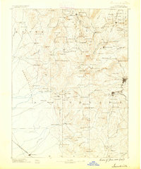
1888 · Smartsville
USGS Topo · 1:125,000
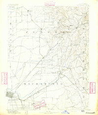
1891 · Sacramento
USGS Topo · 1:125,000
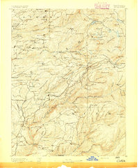
1891 · Colfax
USGS Topo · 1:125,000
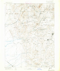
1891 · Smartsville
USGS Topo · 1:125,000
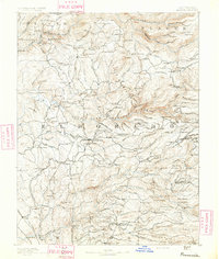
1891 · Placerville
USGS Topo · 1:125,000
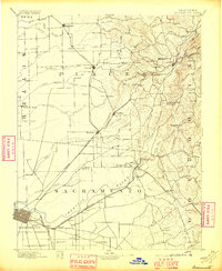
1892 · Sacramento
USGS Topo · 1:125,000
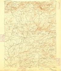
1892 · Placerville
USGS Topo · 1:125,000
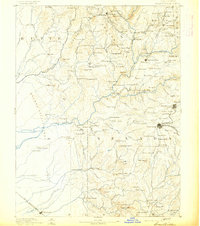
1892 · Smartsville
USGS Topo · 1:125,000
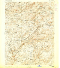
1892 · Colfax
USGS Topo · 1:125,000
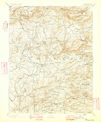
1893 · Placerville
USGS Topo · 1:125,000