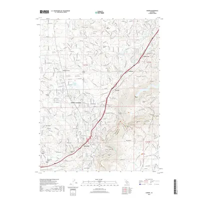
2018 Map of Auburn
USGS Topo · Published 2018About this map
Auburn and North Auburn serve as the focal points for this study of Placer County’s transition from foothill settlements to modern infrastructure. The landscape is heavily defined by an intricate network of water management features, including the Bear River Canal, Wise Canal, and Halsey Afterbay, which trace the contours of the terrain alongside historic mining-era remnants. To the south and east, the deeply incised canyons of the North Fork American River are spanned by the massive Foresthill Bridge, overlooking a series of river bars such as Murderers Bar and Mammoth Bar.
Find a feature on this map
205 named features on this map. Tap any name to fly to it.
Don’t see what you’re looking for? This feature index may not catch every label — zoom into the map to look around manually.
Map Details
Editions of this 2018 Auburn Map
This is the sole edition of this map. No revisions or reprints were ever made.
Other maps of this area

1888 · Smartsville
USGS Topo · 1:125,000

1891 · Sacramento
USGS Topo · 1:125,000

1891 · Colfax
USGS Topo · 1:125,000

1891 · Smartsville
USGS Topo · 1:125,000

1891 · Placerville
USGS Topo · 1:125,000

1892 · Sacramento
USGS Topo · 1:125,000

1892 · Placerville
USGS Topo · 1:125,000

1892 · Smartsville
USGS Topo · 1:125,000

1892 · Colfax
USGS Topo · 1:125,000

1893 · Placerville
USGS Topo · 1:125,000