2021 Map of Auburn
USGS Topo · Published 2021About this map
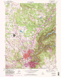
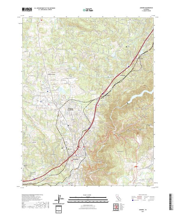
The city of Auburn serves as the focal point for this area of the Sierra Nevada foothills, where the Placer County Courthouse stands near the historic core. The landscape is defined by an intricate network of water management, featuring numerous irrigation and power canals such as the Ophir Canal, Gold Hill Canal, and Dutch Ravine. These waterways trace the contours of the terrain, feeding reservoirs like the Halsey Forebay and Wise Forebay to support the region's agricultural and municipal needs.
Find a feature on this map
83 named features on this map. Tap any name to fly to it.
Don’t see what you’re looking for? This feature index may not catch every label — zoom into the map to look around manually.
Map Details
Editions of this 2021 Auburn Map
This is the sole edition of this map. No revisions or reprints were ever made.
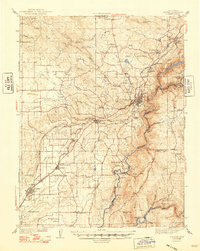
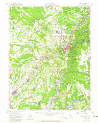
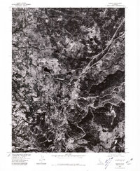
Historical Maps of Ophir Through Time
5 maps found