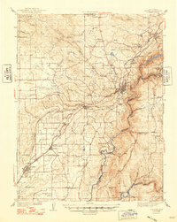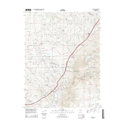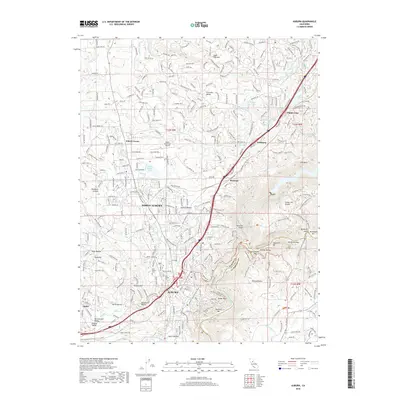
1954 Map of Auburn
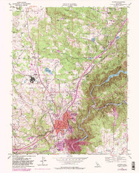
USGS Topo · Published 1965About this map
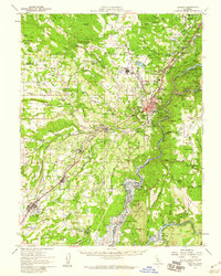
Auburn and the surrounding Sierra Nevada foothills are captured here during a period of transition, shortly before the completion of the Folsom Dam project would alter the river valleys forever. Blue hatching along the South Fork American River indicates the coming inundation of historic sites like Salmon Falls, while the Middle Fork American River remains deeply entrenched in its natural canyon. The landscape is a dense network of gold-rush era legacies and mid-century infrastructure, with the Southern Pacific railroad and U S Highway 40 serving as the primary arteries through Newcastle, Penryn, and Loomis.
Find a feature on this map
105 named features on this map. Tap any name to fly to it.
Don’t see what you’re looking for? This feature index may not catch every label — zoom into the map to look around manually.
Map Details
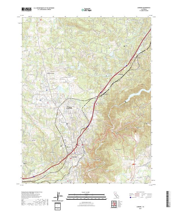
Editions of this 1954 Auburn Map
2 editions found
Historical Maps of Roseville Through Time
8 maps found