Loading...
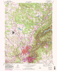
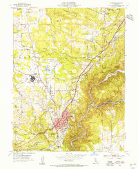
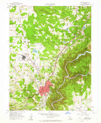
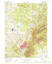
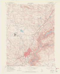
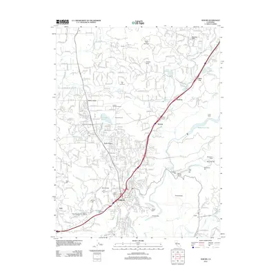
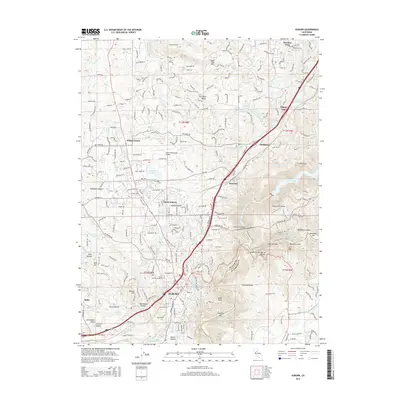
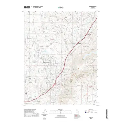
Loading map...1953 Map of Auburn
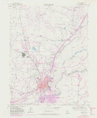
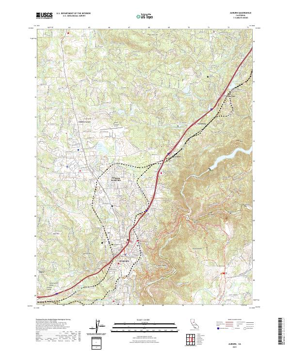
USGS Topo · Published 1981About this map
The North Fork American River and Middle Fork American River converge in a deep canyon landscape below the bustling center of Auburn. This 1953 survey, updated with late-1970s land use revisions, captures the city as it expanded near the Southern Pacific railroad and the Dewitt State Hospital. The map reveals a complex hydraulic legacy, with an intricate network of water features like the Boardman Canal, Gold Hill Canal, and Lone Star Canal tracing the contours of the Gold Country terrain.
Find a feature on this map
64 named features on this map. Tap any name to fly to it.
Don’t see what you’re looking for? This feature index may not catch every label — zoom into the map to look around manually.
Map Details
Date Portrayed1953
Date Published1981
PublisherU.S. Geological Survey
Map TypeTopographic
Scale1:24,000
Physical Dimensions21.5 x 26.8 inches
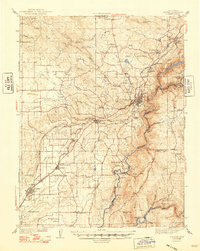
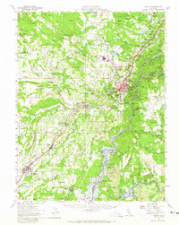
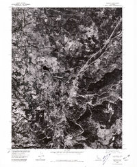
Editions of this 1953 Auburn Map
9 editions found
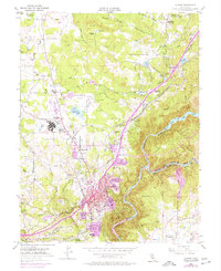
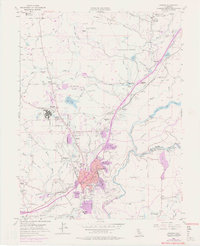
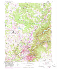
Historical Maps of Auburn Through Time
8 maps found
Featured Locations
Source Details
SourceU.S. Geological Survey
CopyrightPublic Domain