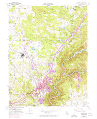
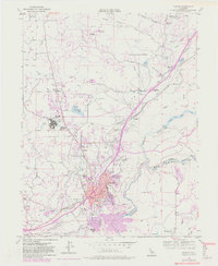
1953 Map of Auburn
USGS Topo · Published 1977About this map
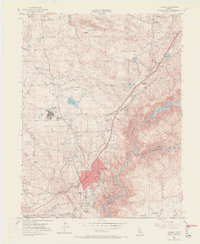
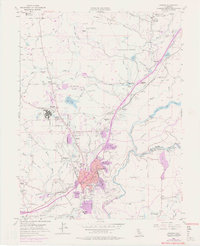
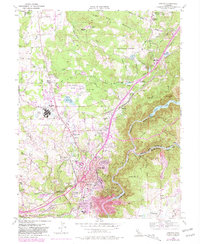
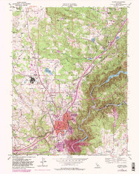
The Auburn area, long defined by its rugged topography and the confluence of the North Fork American River and Middle Fork American River, is documented here just as post-war suburban growth began to overlay its mining and agricultural roots. The map reveals a complex infrastructure of water management, featuring the Halsey Forebay, Halsey Afterbay, and a network of canals like the Southern Pacific rail line and various flumes that sustained the local economy.
Find a feature on this map
55 named features on this map. Tap any name to fly to it.
Don’t see what you’re looking for? This feature index may not catch every label — zoom into the map to look around manually.
Map Details
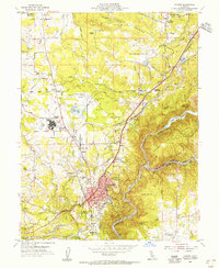
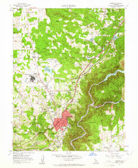
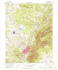
Editions of this 1953 Auburn Map
9 editions found
Other maps of this area

1888 · Smartsville
USGS Topo · 1:125,000

1891 · Sacramento
USGS Topo · 1:125,000

1891 · Colfax
USGS Topo · 1:125,000

1891 · Smartsville
USGS Topo · 1:125,000

1891 · Placerville
USGS Topo · 1:125,000

1892 · Sacramento
USGS Topo · 1:125,000

1892 · Placerville
USGS Topo · 1:125,000

1892 · Smartsville
USGS Topo · 1:125,000

1892 · Colfax
USGS Topo · 1:125,000

1893 · Placerville
USGS Topo · 1:125,000