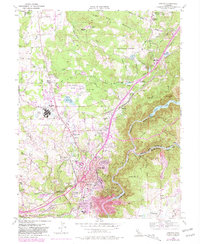
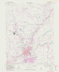
1953 Map of Auburn
USGS Topo · Published 1981About this map
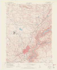
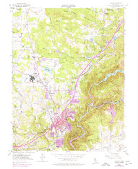
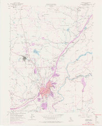
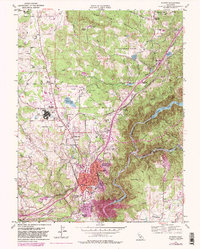
Auburn serves as the central hub of this 1950s landscape, where the Southern Pacific railroad and a complex network of canals like the Boardman Canal define the region's infrastructure. The map documents a period of significant institutional presence, notably the sprawling DeWitt State Hospital and the Auburn Municipal Airport. To the north and east, the transition from settlement to the steep canyons of the American River Forest is clear, with former town locations such as Hotaling and Millertown recorded alongside active rural centers like Clipper Gap and Ophir.
Find a feature on this map
64 named features on this map. Tap any name to fly to it.
Don’t see what you’re looking for? This feature index may not catch every label — zoom into the map to look around manually.
Map Details
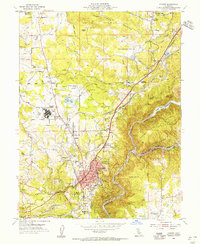
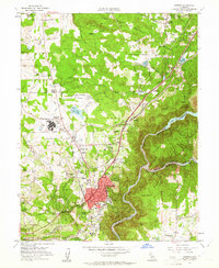
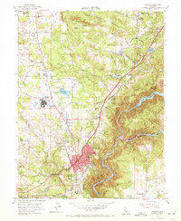
Editions of this 1953 Auburn Map
9 editions found
Other maps of this area

1888 · Smartsville
USGS Topo · 1:125,000

1891 · Sacramento
USGS Topo · 1:125,000

1891 · Colfax
USGS Topo · 1:125,000

1891 · Smartsville
USGS Topo · 1:125,000

1891 · Placerville
USGS Topo · 1:125,000

1892 · Sacramento
USGS Topo · 1:125,000

1892 · Placerville
USGS Topo · 1:125,000

1892 · Smartsville
USGS Topo · 1:125,000

1892 · Colfax
USGS Topo · 1:125,000

1893 · Placerville
USGS Topo · 1:125,000