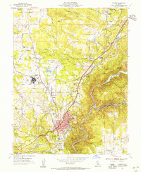
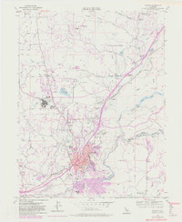
1953 Map of Auburn
USGS Topo · Published 1955About this map
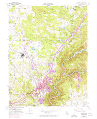
Auburn serves as the focal point of this Gold Country landscape, where the confluence of the Southern Pacific railroad and the Pacific Highway underscores the area's role as a transportation hub. The terrain is defined by a sophisticated network of water management, featuring the Wise Canal, Lone Star Canal, and Boardman Canal that traverse the ridges to feed landmarks like Halsey Forebay and Rock Creek Lake. This mid-century view documents significant institutional footprints including the DeWitt State Hospital and the Auburn Municipal Airport. Down in the deep canyon of the American River, historic mining sites like New York Bar and Murderers Bar hint at the region's extractive past, while the presence of the Auburn Rancheria and several former settlement sites like Millertown provide essential context for local genealogists and historians.
Find a feature on this map
87 named features on this map. Tap any name to fly to it.
Don’t see what you’re looking for? This feature index may not catch every label — zoom into the map to look around manually.
Map Details
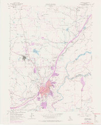
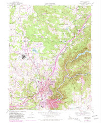
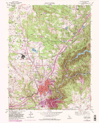
Editions of this 1953 Auburn Map
9 editions found
Other maps of this area

1888 · Smartsville
USGS Topo · 1:125,000

1891 · Sacramento
USGS Topo · 1:125,000

1891 · Colfax
USGS Topo · 1:125,000

1891 · Smartsville
USGS Topo · 1:125,000

1891 · Placerville
USGS Topo · 1:125,000

1892 · Sacramento
USGS Topo · 1:125,000

1892 · Placerville
USGS Topo · 1:125,000

1892 · Smartsville
USGS Topo · 1:125,000

1892 · Colfax
USGS Topo · 1:125,000

1893 · Placerville
USGS Topo · 1:125,000