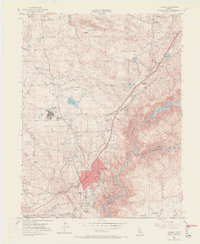
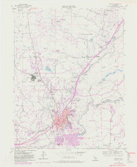
1953 Map of Auburn
USGS Topo · Published 1972About this map
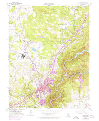
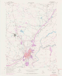
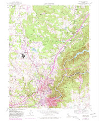
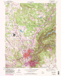
The American River and its Middle Fork carve through the landscape south of Auburn, forming the boundary between Placer and El Dorado counties. This early 1950s survey shows a region balancing its Gold Rush history with mid-century development. Evidence of the area's mining past is still visible at the Honor Camp No 7 (Iron Mine) and several bars along the river, such as Murderers Bar and New York Bar.
Find a feature on this map
69 named features on this map. Tap any name to fly to it.
Don’t see what you’re looking for? This feature index may not catch every label — zoom into the map to look around manually.
Map Details
Editions of this 1953 Auburn Map
9 editions found
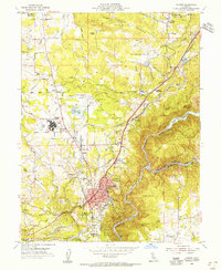
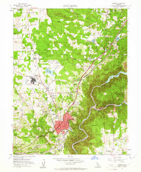
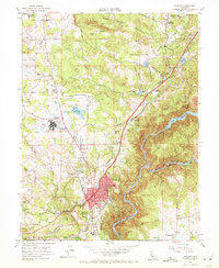
Other maps of this area

1888 · Smartsville
USGS Topo · 1:125,000

1891 · Sacramento
USGS Topo · 1:125,000

1891 · Colfax
USGS Topo · 1:125,000

1891 · Smartsville
USGS Topo · 1:125,000

1891 · Placerville
USGS Topo · 1:125,000

1892 · Sacramento
USGS Topo · 1:125,000

1892 · Placerville
USGS Topo · 1:125,000

1892 · Smartsville
USGS Topo · 1:125,000

1892 · Colfax
USGS Topo · 1:125,000

1893 · Placerville
USGS Topo · 1:125,000