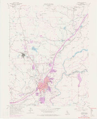
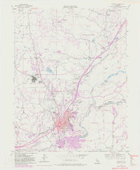
1953 Map of Auburn
USGS Topo · Published 1977About this map
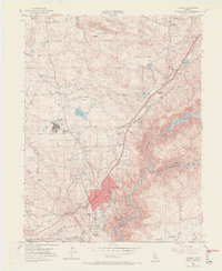
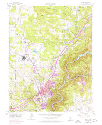
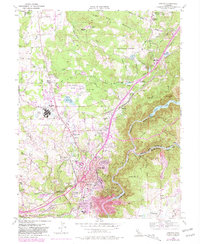
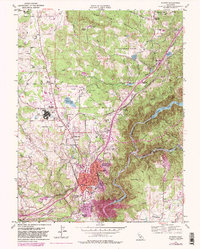
Auburn and its surrounding Sierra Nevada foothills appear in this mid-century survey as a complex network of hydraulic infrastructure and gold-era legacies. The landscape is defined by an intricate system of water management, featuring the Boardman Canal, Wise Canal, and Fiddler Green Canal, which snake through the terrain to support both industry and the growing town. Significant institutional landmarks include the DeWitt State Hospital and the Auburn Municipal Airport, while the Southern Pacific railroad remains a primary transit artery.
Find a feature on this map
84 named features on this map. Tap any name to fly to it.
Don’t see what you’re looking for? This feature index may not catch every label — zoom into the map to look around manually.
Map Details
Editions of this 1953 Auburn Map
9 editions found
Other maps of this area

1888 · Smartsville
USGS Topo · 1:125,000

1891 · Sacramento
USGS Topo · 1:125,000

1891 · Colfax
USGS Topo · 1:125,000

1891 · Smartsville
USGS Topo · 1:125,000

1891 · Placerville
USGS Topo · 1:125,000

1892 · Sacramento
USGS Topo · 1:125,000

1892 · Placerville
USGS Topo · 1:125,000

1892 · Smartsville
USGS Topo · 1:125,000

1892 · Colfax
USGS Topo · 1:125,000

1893 · Placerville
USGS Topo · 1:125,000