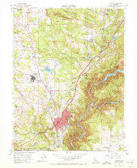
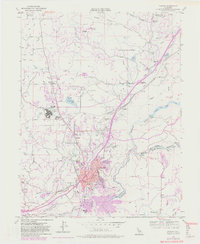
1953 Map of Auburn
USGS Topo · Published 1972About this map
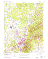
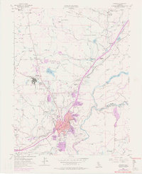
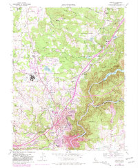
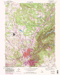
Auburn and its surrounding Sierra Nevada foothills are captured here during a period of mid-century growth and institutional expansion. The map details the intersection of regional infrastructure and historic gold-country settlements, featuring the sprawl of DeWitt State Hospital and the activity at the Auburn Municipal Airport. Water management systems are central to the landscape, with the North Fork American River flowing toward Lake Clementine, and numerous canals and forebays like Halsey Forebay serving the region's power and agricultural needs.
Find a feature on this map
69 named features on this map. Tap any name to fly to it.
Don’t see what you’re looking for? This feature index may not catch every label — zoom into the map to look around manually.
Map Details
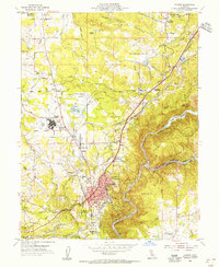
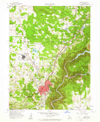
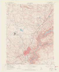
Editions of this 1953 Auburn Map
9 editions found
Other maps of this area

1888 · Smartsville
USGS Topo · 1:125,000

1891 · Sacramento
USGS Topo · 1:125,000

1891 · Colfax
USGS Topo · 1:125,000

1891 · Smartsville
USGS Topo · 1:125,000

1891 · Placerville
USGS Topo · 1:125,000

1892 · Sacramento
USGS Topo · 1:125,000

1892 · Placerville
USGS Topo · 1:125,000

1892 · Smartsville
USGS Topo · 1:125,000

1892 · Colfax
USGS Topo · 1:125,000

1893 · Placerville
USGS Topo · 1:125,000