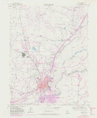
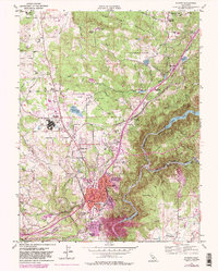
1953 Map of Auburn
USGS Topo · Published 1981About this map
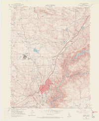
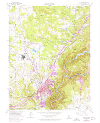
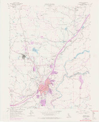
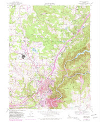
The city of Auburn serves as the focal point for this mid-century survey, which details the complex hydraulic infrastructure of the Sierra Nevada foothills. A massive network of waterways, including the Boardman Canal, Bear River Canal, and Wise Canal, underscores the region's reliance on managed water for mining and agriculture. Along the North Fork American River and Middle Fork American River, several historical mining locations are noted, such as Mammoth Bar and Murderers Bar, reflecting the area's gold-mining heritage.
Find a feature on this map
81 named features on this map. Tap any name to fly to it.
Don’t see what you’re looking for? This feature index may not catch every label — zoom into the map to look around manually.
Map Details
Editions of this 1953 Auburn Map
9 editions found
Other maps of this area

1888 · Smartsville
USGS Topo · 1:125,000

1891 · Sacramento
USGS Topo · 1:125,000

1891 · Colfax
USGS Topo · 1:125,000

1891 · Smartsville
USGS Topo · 1:125,000

1891 · Placerville
USGS Topo · 1:125,000

1892 · Sacramento
USGS Topo · 1:125,000

1892 · Placerville
USGS Topo · 1:125,000

1892 · Smartsville
USGS Topo · 1:125,000

1892 · Colfax
USGS Topo · 1:125,000

1893 · Placerville
USGS Topo · 1:125,000