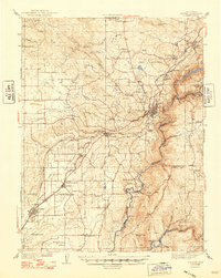
1944 Map of Auburn
USGS Topo · Published 1948About this map
Auburn serves as the focal point for this mid-century look at the foothills where the Southern Pacific railroad snakes through the Placer County landscape. The map captures a transition period in California’s interior, documenting numerous rural education centers like the Japanese Sch and Union Grammar Sch alongside the early aviation infrastructure of several Airway Beacons. To the south, the village of Salmon Falls sits near the confluence of the American River and Sweetwater Creek, long before later water projects altered the river's path. Traces of the region's mining and ranching history are evident in the naming of Dutch Ravine, Whisky Bar, and Kilaga Springs. The map also preserves the complex geography of the American River's canyon, including the location of Rattlesnake Bridge and the rugged divide between Placer and El Dorado counties.
Find a feature on this map
64 named features on this map. Tap any name to fly to it.
Don’t see what you’re looking for? This feature index may not catch every label — zoom into the map to look around manually.
Map Details
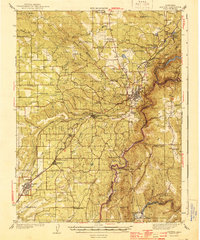
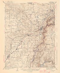
Editions of this 1944 Auburn Map
3 editions found
Other maps of this area

1888 · Smartsville
USGS Topo · 1:125,000

1891 · Sacramento
USGS Topo · 1:125,000

1891 · Colfax
USGS Topo · 1:125,000

1891 · Smartsville
USGS Topo · 1:125,000

1891 · Placerville
USGS Topo · 1:125,000

1892 · Sacramento
USGS Topo · 1:125,000

1892 · Placerville
USGS Topo · 1:125,000

1892 · Smartsville
USGS Topo · 1:125,000

1892 · Colfax
USGS Topo · 1:125,000

1893 · Placerville
USGS Topo · 1:125,000