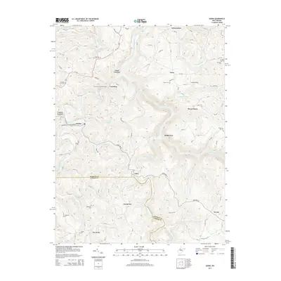
2014 Map of Audra
USGS Topo · Published 2014About this map
The Carrollton Covered Bridge spans the Tygart Valley River at Carrollton, a focal point in a landscape defined by its river forks and narrow hollows. This area of West Virginia sits at the convergence of the Tygart Valley River and the Middle Fork River, creating a complex network of runs and creeks including Lick Shoals Run and Indian Fork. The topography is densely marked with family and memorial cemeteries such as Mt Vernon Memorial Cem, Pleasant Grove Cem, and Redabaugh Cem, offering significant data for genealogical research.
Find a feature on this map
95 named features on this map. Tap any name to fly to it.
Don’t see what you’re looking for? This feature index may not catch every label — zoom into the map to look around manually.
Map Details
Editions of this 2014 Audra Map
This is the sole edition of this map. No revisions or reprints were ever made.
Other maps of this area

1886 · St. George
USGS Topo · 1:125,000

1889 · Beverly
USGS Topo · 1:125,000

1891 · St. George
USGS Topo · 1:125,000

1892 · Beverly
USGS Topo · 1:125,000

1893 · Buckhannon
USGS Topo · 1:125,000

1896 · Buckhannon
USGS Topo · 1:125,000

1897 · Buckhannon
USGS Topo · 1:125,000

1904 · Philippi
USGS Topo · 1:62,500

1907 · Belington
USGS Topo · 1:62,500

1909 · Elkins
USGS Topo · 1:62,500