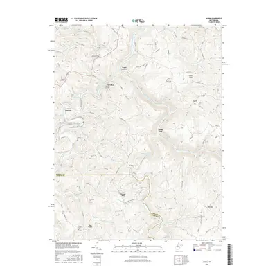
2016 Map of Audra
USGS Topo · Published 2016About this map
The Buckhannon River and Tygart Valley River converge in this mountainous section of Barbour and Upshur counties, where steep ridges and deep runs define the settlement patterns. A primary landmark is the Carrollton Covered Bridge at Carrollton, which provides a crossing near the mouth of the river. The rail infrastructure is notable at Tygart Junction and Century Junction, reflecting the region's industrial heritage.
Find a feature on this map
110 named features on this map. Tap any name to fly to it.
Don’t see what you’re looking for? This feature index may not catch every label — zoom into the map to look around manually.
Map Details
Editions of this 2016 Audra Map
This is the sole edition of this map. No revisions or reprints were ever made.
Other maps of this area

1886 · St. George
USGS Topo · 1:125,000

1889 · Beverly
USGS Topo · 1:125,000

1891 · St. George
USGS Topo · 1:125,000

1892 · Beverly
USGS Topo · 1:125,000

1893 · Buckhannon
USGS Topo · 1:125,000

1896 · Buckhannon
USGS Topo · 1:125,000

1897 · Buckhannon
USGS Topo · 1:125,000

1904 · Philippi
USGS Topo · 1:62,500

1907 · Belington
USGS Topo · 1:62,500

1909 · Elkins
USGS Topo · 1:62,500