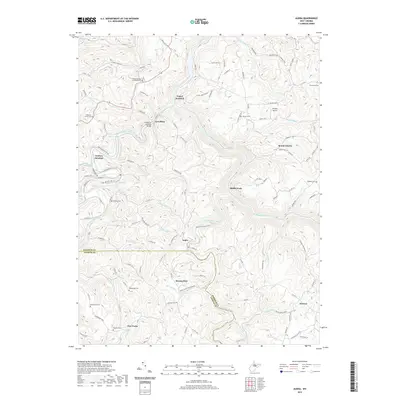
2019 Map of Audra
USGS Topo · Published 2019About this map
The Tygart Valley River and Buckhannon River converge in this section of West Virginia, where the historical Carrollton Covered Bridge spans the water near the settlement of Carrollton. The landscape is defined by the sharp confluence of river valleys and the crossroads at Tygart Junction and Century Junction. To the south, the Middle Fork River cuts through the terrain near Audra, a region marked by steep-sided hollows like Sawhill Hollow.
Find a feature on this map
120 named features on this map. Tap any name to fly to it.
Don’t see what you’re looking for? This feature index may not catch every label — zoom into the map to look around manually.
Map Details
Editions of this 2019 Audra Map
This is the sole edition of this map. No revisions or reprints were ever made.
Other maps of this area

1886 · St. George
USGS Topo · 1:125,000

1889 · Beverly
USGS Topo · 1:125,000

1891 · St. George
USGS Topo · 1:125,000

1892 · Beverly
USGS Topo · 1:125,000

1893 · Buckhannon
USGS Topo · 1:125,000

1896 · Buckhannon
USGS Topo · 1:125,000

1897 · Buckhannon
USGS Topo · 1:125,000

1904 · Philippi
USGS Topo · 1:62,500

1907 · Belington
USGS Topo · 1:62,500

1909 · Elkins
USGS Topo · 1:62,500