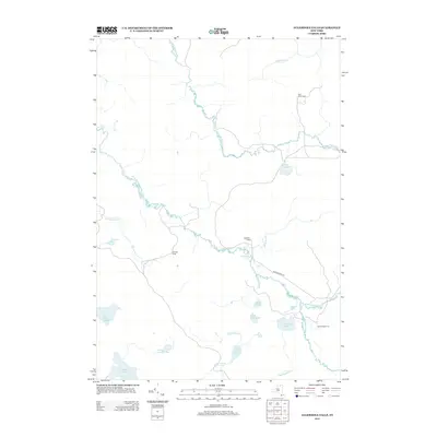
2013 Map of Augerhole Falls
USGS Topo · Published 2013About this map
The W Br Saint Regis River meanders through this portion of Franklin County, defining a landscape dominated by interconnected waterways and seasonal outposts. This 2013 survey reveals a geography of isolated camps and remote hydrological features, where the river's course is punctuated by Augerhole Falls and downstream by High Falls. The presence of named camps like Wolf Pond Camp, Augerhole Camp, Cuttings Camp, and Camp Number Two suggests a region utilized for timber, recreation, or sporting, accessible primarily by local tracks and the solitary Blue Mountain Rd.
Find a feature on this map
28 named features on this map. Tap any name to fly to it.
Don’t see what you’re looking for? This feature index may not catch every label — zoom into the map to look around manually.
Map Details
Editions of this 2013 Augerhole Falls Map
This is the sole edition of this map. No revisions or reprints were ever made.
Other maps of this area

1905 · Saint Regis
USGS Topo · 1:62,500

1919 · Nicholville
USGS Topo · 1:62,500

1920 · Childwold
USGS Topo · 1:62,500

1921 · Childwold
USGS Topo · 1:48,000

1921 · Nicholville
USGS Topo · 1:62,500

1921 · Santa Clara
USGS Topo · 1:62,500

1922 · Childwold
USGS Topo · 1:62,500

1923 · Santa Clara
USGS Topo · 1:62,500

1948 · Ogdensburg
USGS Topo · 1:250,000

1951 · Ogdensburg
USGS Topo · 1:250,000