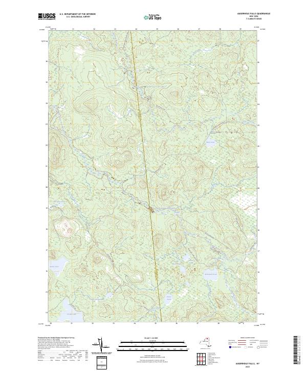
2023 Map of Augerhole Falls
USGS Topo · Published 2023About this map
The West Branch Saint Regis River carves a path through this section of the Adirondack Park Preserve, defining a landscape where water and wetlands dominate the terrain. At the heart of this area, the namesake Augerhole Falls serves as a central landmark along the river, while High Falls marks a significant drop further upstream to the northwest. The map captures a complex network of glacial ponds and lakes, including Jordan Lake, Amber Lake, and Potter Pond, many connected by seasonal brooks like Windfall Brook and Elbow Brook. Human presence is minimal, limited to the Adirondack Rd and Blue Mountain Rd that skirt the edges of these protected woods, alongside an ATV Trl and the track of Kildare Rd, reflecting the area's ongoing role as a managed wilderness at the border of Franklin and St Lawrence counties.
Find a feature on this map
28 named features on this map. Tap any name to fly to it.
Don’t see what you’re looking for? This feature index may not catch every label — zoom into the map to look around manually.
Map Details
Editions of this 2023 Augerhole Falls Map
This is the sole edition of this map. No revisions or reprints were ever made.
Other maps of this area

1905 · Saint Regis
USGS Topo · 1:62,500

1919 · Nicholville
USGS Topo · 1:62,500

1920 · Childwold
USGS Topo · 1:62,500

1921 · Childwold
USGS Topo · 1:48,000

1921 · Nicholville
USGS Topo · 1:62,500

1921 · Santa Clara
USGS Topo · 1:62,500

1922 · Childwold
USGS Topo · 1:62,500

1923 · Santa Clara
USGS Topo · 1:62,500

1948 · Ogdensburg
USGS Topo · 1:250,000

1951 · Ogdensburg
USGS Topo · 1:250,000