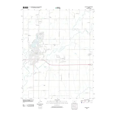
2009 Map of Augusta
USGS Topo · Published 2009About this map
Walnut River and the Whitewater River converge just south of Augusta, defining the local geography of this Butler County landscape. The city itself is anchored by Augusta Lake and a well-defined grid of streets including Main St and Ohio St. The map highlights the area's industrial legacy through the presence of the Augusta North Oil Field and the larger Augusta Oil Field to the south, marking the region's historical reliance on energy production.
Find a feature on this map
63 named features on this map. Tap any name to fly to it.
Don’t see what you’re looking for? This feature index may not catch every label — zoom into the map to look around manually.
Map Details
Editions of this 2009 Augusta Map
This is the sole edition of this map. No revisions or reprints were ever made.
Other maps of this area

1888 · Eldorado
USGS Topo · 1:125,000

1889 · Wichita
USGS Topo · 1:125,000

1894 · Wichita
USGS Topo · 1:125,000

1955 · Santa Fe Lake
USGS Topo · 1:24,000

1955 · Benton
USGS Topo · 1:24,000

1955 · Douglass
USGS Topo · 1:24,000

1955 · Wichita
USGS Topo · 1:250,000

1958 · Wichita
USGS Topo · 1:250,000

1961 · Augusta
USGS Topo · 1:24,000

1961 · El Dorado
USGS Topo · 1:24,000