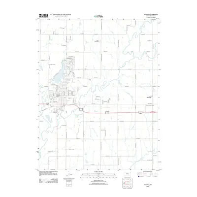
2012 Map of Augusta
USGS Topo · Published 2012About this map
Walnut River and Whitewater River converge near the heart of this Butler County landscape, shaping the development of the city of Augusta. The town's layout is centered around the Po and the significant Elmwood Cem, while the outskirts are marked by aviation and energy interests. The presence of the Augusta North Oil Field and Augusta Oil Field points to the region's long-standing connection to petroleum extraction, a defining industry for this part of Kansas.
Find a feature on this map
99 named features on this map. Tap any name to fly to it.
Don’t see what you’re looking for? This feature index may not catch every label — zoom into the map to look around manually.
Map Details
Editions of this 2012 Augusta Map
This is the sole edition of this map. No revisions or reprints were ever made.
Other maps of this area

1888 · Eldorado
USGS Topo · 1:125,000

1889 · Wichita
USGS Topo · 1:125,000

1894 · Wichita
USGS Topo · 1:125,000

1955 · Santa Fe Lake
USGS Topo · 1:24,000

1955 · Benton
USGS Topo · 1:24,000

1955 · Douglass
USGS Topo · 1:24,000

1955 · Wichita
USGS Topo · 1:250,000

1958 · Wichita
USGS Topo · 1:250,000

1961 · Augusta
USGS Topo · 1:24,000

1961 · El Dorado
USGS Topo · 1:24,000