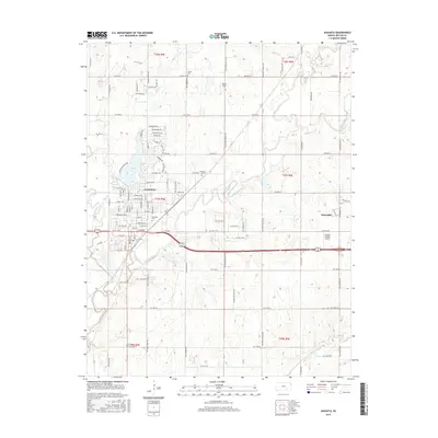
2015 Map of Augusta
USGS Topo · Published 2015About this map
The confluence of the Walnut River and Whitewater River defines the landscape of Augusta, Kansas, in this 2015 study. This riverine geometry is central to the town's orientation, with Elm Cr joining from the west and Augusta Lake serving as a significant northern water feature. The map provides clear documentation of local burial grounds for genealogical research, including Elmwood Cem, Sutton Cem, and Calvary Cem, which are scattered throughout the township boundaries. To the east, the settlement of Haverhill sits near Turkey Creek, while the southern reaches are marked by the winding path of the Little Walnut River. Aviation landmarks like Heape Field and Airpark Estates Airport indicate the modern infrastructure integrated into this Butler County landscape. The survey details a dense grid of rural roads, such as SW Shumway Rd and SW Boyer Rd, that connect the various sections of T26S through T28S.
Find a feature on this map
105 named features on this map. Tap any name to fly to it.
Don’t see what you’re looking for? This feature index may not catch every label — zoom into the map to look around manually.
Map Details
Editions of this 2015 Augusta Map
This is the sole edition of this map. No revisions or reprints were ever made.
Other maps of this area

1888 · Eldorado
USGS Topo · 1:125,000

1889 · Wichita
USGS Topo · 1:125,000

1894 · Wichita
USGS Topo · 1:125,000

1955 · Santa Fe Lake
USGS Topo · 1:24,000

1955 · Benton
USGS Topo · 1:24,000

1955 · Douglass
USGS Topo · 1:24,000

1955 · Wichita
USGS Topo · 1:250,000

1958 · Wichita
USGS Topo · 1:250,000

1961 · Augusta
USGS Topo · 1:24,000

1961 · El Dorado
USGS Topo · 1:24,000